

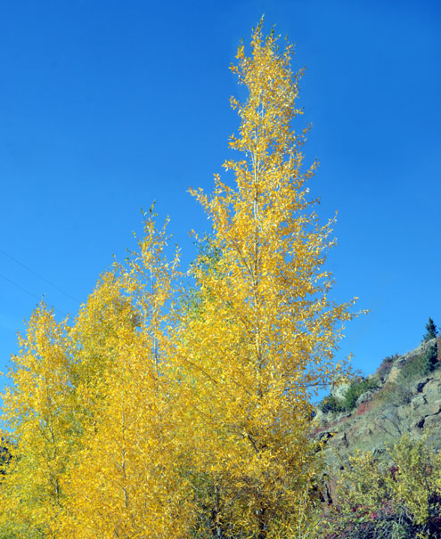
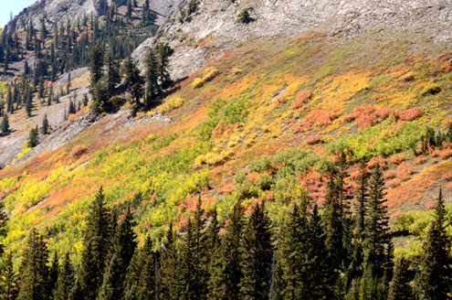
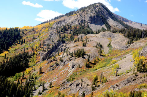
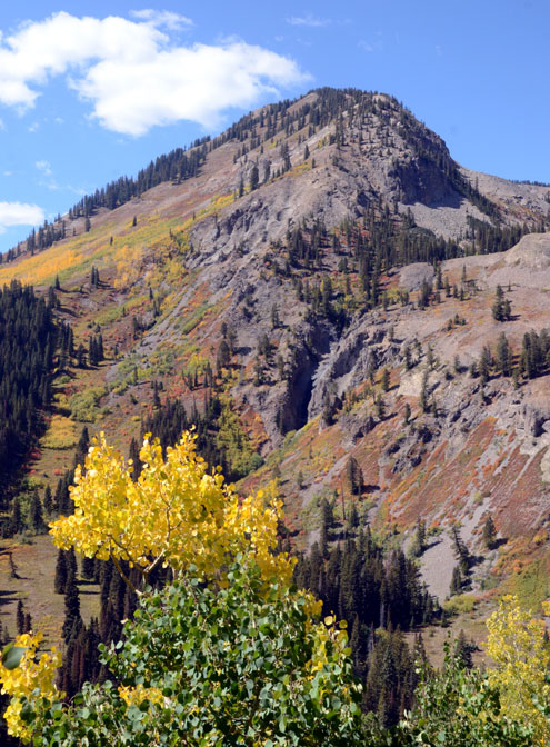
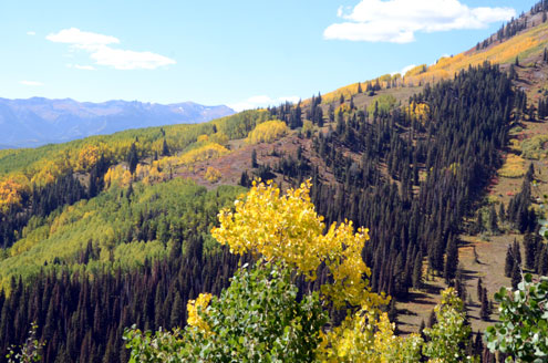
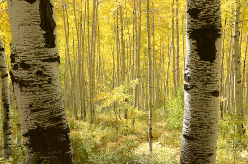
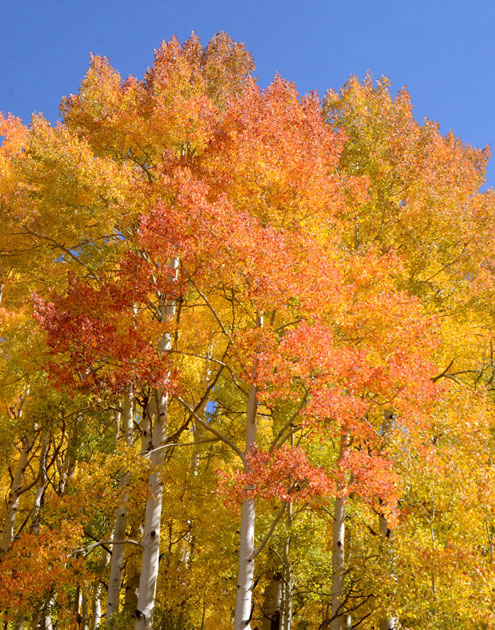
Gunnison, Colorado -- Different seasons bring different crowds to the Rocky Mountains. Skiers come in the winter, families come in the summer and retired couples cruise their favorite color-drenched scenic byways in the autumn when the aspen leaves turn gold and crowds are long gone.
For dedicated leaf peepers, picking out the date for peak foliage color is a little like horseshoes and hand grenades...you don't have to be perfect...you just have to get close. Of course, it would be nice to know the peak day when you plan your trip, but that is like trying to hit a moving target because peak foliage varies every year.
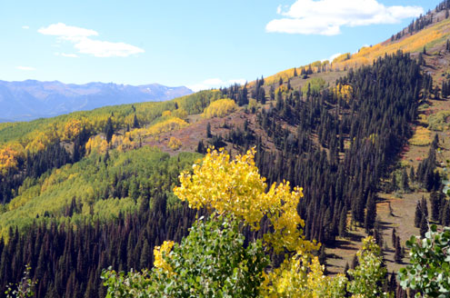
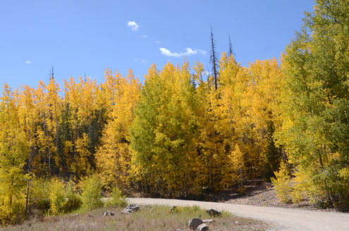
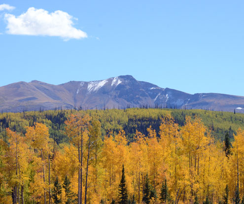
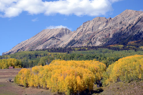
Colorado has several roads that are famous for exceptional foliage. Streaks of yellow-colored aspen leaves run down the mountains like the veins of gold that brought prospectors to the Rockies in the 1850s.
The San Juan Skyway takes you through stunning mountain towns like Telluride, Durango and Ouray. Telluride even offers a free gondola ride that gives photographers the perspective of an aerial view of this picturesque box canyon.
In north-central Colorado, once you are a few miles west of Fort Collins, the Cache la Poudre River Canyon becomes a secluded valley where the locals are proud to tell you that, up here, moose outnumber people.
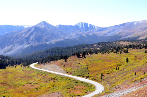
Now that both sides of Cottonwood Pass are paved, don't overlook this spectacular drive from Buena Vista to Almont. Sports car enthusiasts, in particular, seem smitten by this beautiful, 60-mile stretch of smooth, two-lane blacktop that tops out at 12,126 feet.
From Almont, it is a short drive to Crested Butte for lunch before setting out on the 110-mile West Elk Loop as it carries you 35 miles on a gravel road over Kebler Pass to Paonia State Park. Want pizza? Head 30 minutes north to Propaganda Pie in the quaint mountain village of Redstone, Colorado. Or hang a left to Hotchkiss before you turn south on Hwy 92 and head for Gunnison. Hungry now? It's hard to beat Pie Zans Pizzeria in downtown Gunnison.
For a shorter version of West Elk Loop, take the road to Ohio Pass just north of Gunnison and it will connect with Kebler Pass Scenic Drive. Keebler Pass tops out at 10,007 feet with a panoramic views of spectacular alpine terrain. From here, it is less than 10 miles into Crested Butte to do a little shopping and stretch your legs.
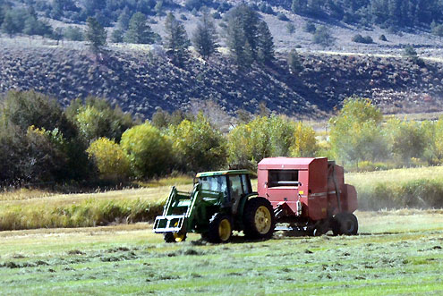
If you like to have a gravel road and scenery all to yourself, head south out of Gunnison on Hwy. 149 to the farming community of Powderhorn, Colorado. Turn left to follow Cebolla Creek through miles of fertile hay meadows until the road parallels the creek through a canyon and eventually rejoins Hwy. 149 nine miles from Lake City.
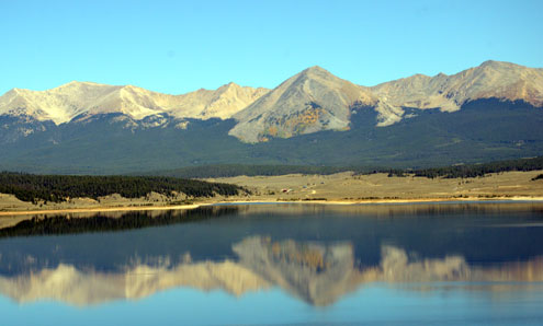
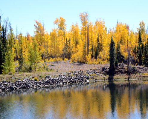
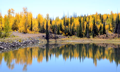
For those who like to get away from it all, the Flat Tops Trail is 82 miles of gravel road that runs from the ranching communities of Yampa and Meeker. Stop by Trappers Lake, known as "Cradle of the Wilderness." Just over 100 years ago, the Forest Service sent a young surveyor named Arthur H. Carhart to draw up plans for home sites and a road around the 302-acre lake. Obviously moved by what he found to be a stunning and remote panorama, Carhart sent this recommendation back to Denver: "There are a number of places with scenic values of such great worth that they are rightfully the property of all people. They should be preserved for all time for the people of the Nation and the world. Trappers Lake is unquestionably a candidate for that classification."
The road around Trapper Lake was never built.
photos by Allen and Cindy Rich