

It was not the adventure we had signed up for in July 2019, a cruise from Nome, Alaska, to Tromso, Norway, across the Arctic Ocean and through Russian territory. But first the Pandemic and then world affairs cancelled that one. Instead, we were offered the Northwest Passage through the Canadian Arctic, a historic, and at times in the past, merciless adventure. It might not have been the same, but it was worthy, nonetheless.
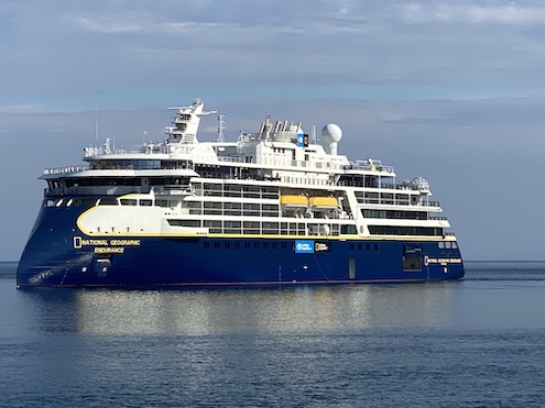
Our ship was one of the two newest in the National Geographic/Lindblad stable, the Endurance. Her sister ship, the Resolution, is a twin. Both have new X-Bow technology, are polar worthy, carry 126 passengers, and are at the top of their game for service. An added feature of traveling with NatGeo/Lindblad, which we’ve done three times before, is the wealth of knowledge shared by the naturalists and professional photographers. There are no strangers here; all questions are welcomed and answered.
But first, we had to get to Nome and the big hump in that was a Covid test in Anchorage. It was pass/fail and the ship’s complement passed! There were still rules once aboard: we had to wear a mask while indoors unless eating. Outdoors, even on the ship, it was optional.
Before we get started, a few observations. We thought we were doing pretty good to be on our fourth adventure. Alas, we were but newbies. While we met two couples with less NatGeo/Lindblad under their belts than we, most had adventures into the double digits. Fifteen was not uncommon and some higher. A show of hands during lecture allowed more than 90% of us had been to Antarctica; I bet over half to Svalbard above Norway. Clearly, we have some catching up to do.
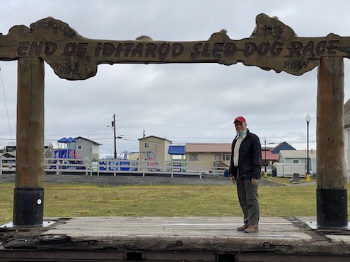
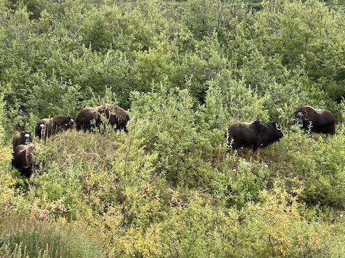
Anchorage was cool; Nome, at the other end of a charter flight, (there are no roads to Nome), was drizzly and cold. We piled into school buses and viewed a dog sled demonstration and saw our first of the Arctic Big Five, the musk ox. They were snacking away near the high school.
It is at this time that I realized that while both my iPhone and my Nikon with a medium lens had been more than adequate in the Galapagos (you’ll step on the wildlife if you’re not careful) and the Antarctic (penguins everywhere and Orcas alongside the ship), they weren’t going to do a good job with the more elusive and far away critters we were hopefully going to be seeing. There’s a reason the passenger photographers in our midst were loaded with long lenses (lens-envy). But everyone was generous with their photos and some of the ones I’ll post will carry a notice ‘courtesy of’.
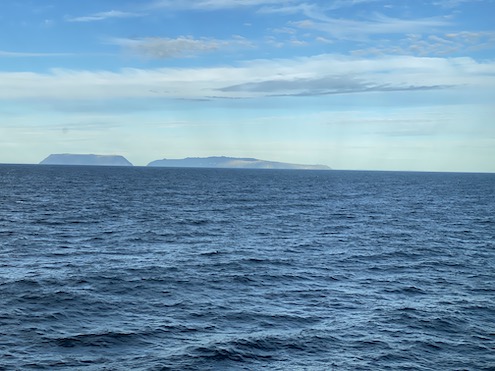
While we weren’t going to be in Russian territory, we could see it from the ship. Two islands in the Bering Strait, the smaller one, Little Diomede is US territory; the larger, Big Diomede, is Russian. They are 2.4 miles apart and the International Date Line runs between them. There is a small population on Little Diomede.
While we were still in US territorial waters, passing through the Beaufort Sea and going past the northwest tip of the North American continent, the ship began to settle into its daily routine. The daily program was on the TV monitor in the cabin with what was lined up to happen, although it didn’t always go as planned.
Sunrise and sunset were given. I think my favorite was sunset at 10:49 p.m. and sunrise at 3:27 a.m. It was never truly dark. There was breakfast and early morning stretches, a morning update over the PA system giving the highlights of the day, usually a morning lecture or two depending on wildlife spotting (polar bears and narwhals take precedence over everything), lunch, lecture, afternoon tea, evening update with cocktail hour, and then dinner. And somehow, this not-so-rigorous routine put us all to bed early.
We began to sporadically see whales, gray and humpback. The bridge staff was constantly on the lookout for wildlife and with an open bridge policy, there were usually passengers on the bridge with their binoculars/spotting scopes surveying the surrounding area as well. Four days after setting off, the first polar bear is spotted way off on the ice, otherwise known as a two-pixel bear. But it is our first bear of what became, I believe, thirty-five.
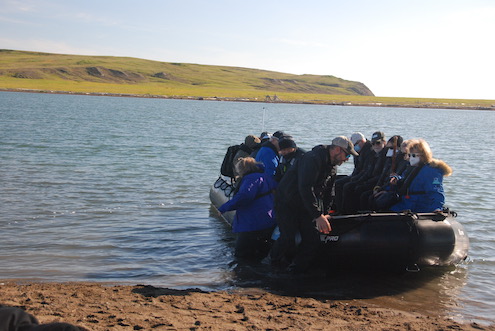
Herschel Island (44 sq. miles) in Mackenzie Bay, barely over the line from Alaska, was our first stop in Canada. Canada has applied for it and the surrounding area to be a UNESCO World Heritage Site in both cultural and natural categories, and therefore, visiting is limited. Of the three applications made by Lindblad, they got one, ours! It is our first wet landing via Zodiac. There is not a population in this former whaling base, but there are territorial park rangers and they showed us around. We went back in the afternoon and the tide was in. What a difference and I was glad we had our Muck boots on.
I don’t recall if the naturalists were armed or not here, but they were at other landing sites. Just because it was sunny and in the 40s and there was not any snow visible, did not mean that animals we’d prefer to see from a distance, might not be around. In the winter, with the ocean frozen, large creatures can walk to the island. In the summer, they can swim.
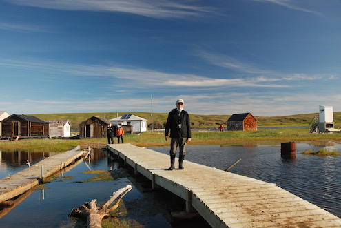
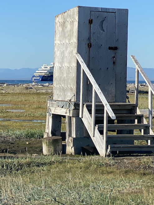
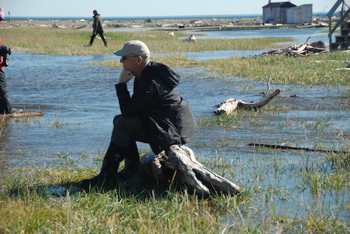
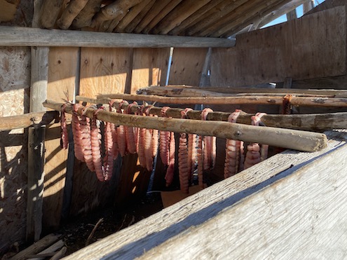
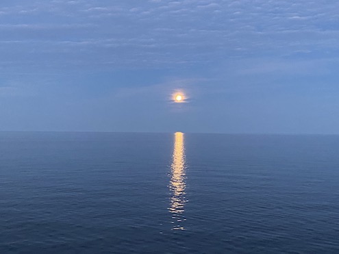
The Endurance is a very smooth ship, but you know when she’s moving or, like a Sunday morning before six, the ship virtually stops and the Captain’s voice comes across the PA. The magic word: polar bear. It’s a rush to the bridge and the observation deck and once again the bears are far out. But we’re up now, breakfast is ready, and we settle in.
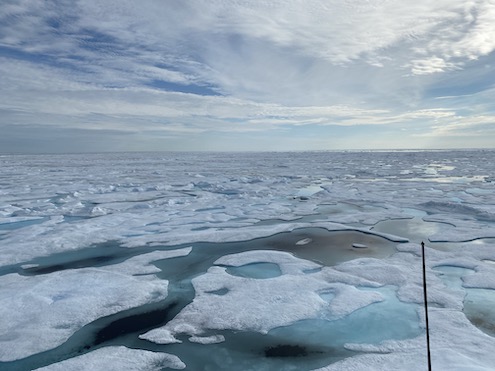
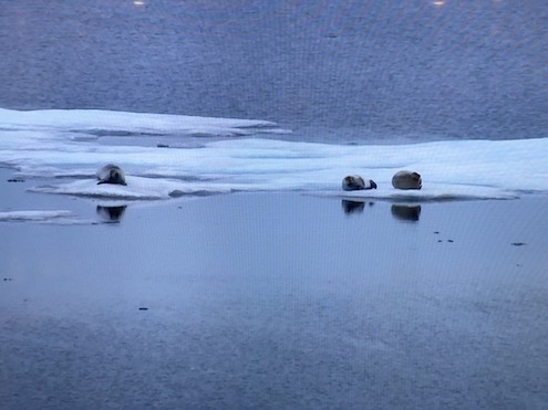
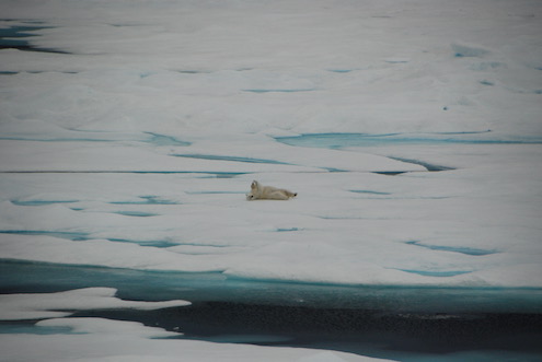
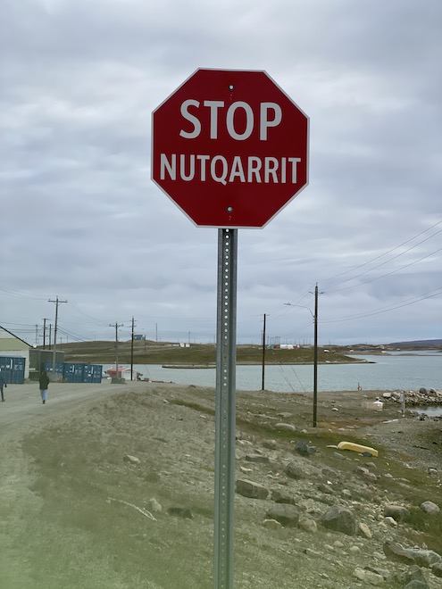
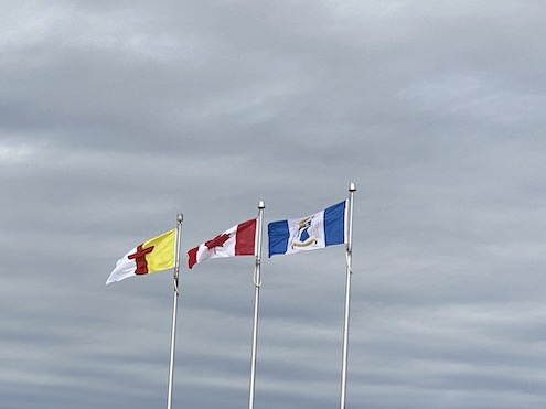
What do we really know about our neighbor to the north? Beyond a quick recitation of the major cities—Montreal, Toronto, Vancouver—can you name all the provinces? I can’t. How about the territories? There are three of them and I could have managed two: Yukon and Northwest. But Nunavut? No. And that’s where we spent most of our time in the Canadian Arctic, in Nunavut.
Created from the eastern portion of the Northwest Territories in 1999, Nunavut contains a major portion of Northern Canada and the Arctic Archipelago. Most of the population is Inuit. The effort to separate from the N. W. T. began in the 1950s and was obviously a long time in coming.
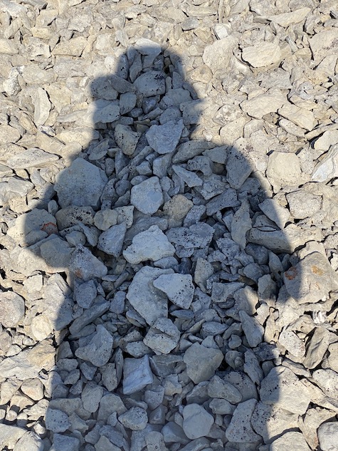
Sutton Island, in the large Canadian territory of Nunavut, just about did me in. The “beach” was nothing but rock and they weren’t aligned up nicely and evenly. We had to climb up uneven rock stairs to get to a spot where we felt stable. The photo at the beginning of this TravelQuest was taken on Sutton.
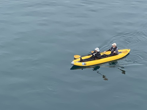
The ship found a spot the next day with calm water and the opportunity to kayak. That is not in my wheelhouse, but Dana decided to.
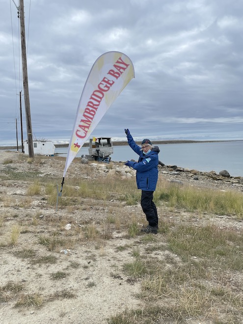
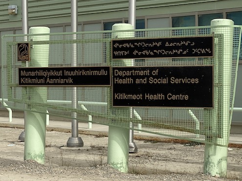
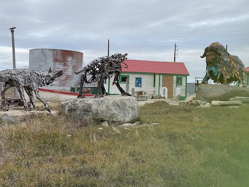
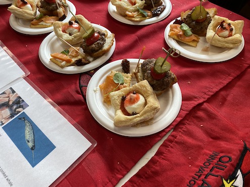
Our next stop was Cambridge Bay, a hamlet located on Victoria Island, the eighth largest island in the world and the second largest in Canada. We went ashore and were guided by young women on a walk through the town, stopping at the community center for a tasting of native fare. If you’re ever offered a ground musk ox slider, take it! Delicious!

We were about halfway through our expedition when we stopped at Jenny Lind Island. Fog was rolling in as we went in for our wet landing. It was very eerie, not seeing the shore and not seeing the Endurance as she disappeared into the fog. She didn’t reappear for over an hour.
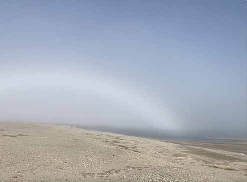
What we did see on the island was a fog bow, like a rainbow, but white and, according to our naturalist, only found in high latitudes with a low sun and fog. But it was a real beach, only with sand and not rocks. We saw a dead bird. Our naturalist said he’d been told that Avian Flu had made it to the Arctic, with Inuit telling him they’d seen birds falling from the sky.
The next day we were headed to Gjoa Haven and would learn more about the infamous Franklin Expedition.
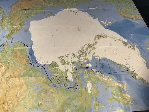
I’ve included the map of our route here because there are too many photos in part two! And a photo of our ship.
For more information about National Geographic/Lindblad expeditions, visit expeditions.com
Kay Layton Sisk is a romance author who also loves to travel. You may find her on the web at kaysisk.com, follow on Facebook at kaylaytonsiskauthor, or find her novels at your favorite e-tailer.