 |
| Bonham State Park |
Front Page
Lakes of Fannin County
By Tammy Rich (photos)
Nov 28, 2004
Fannin County, Texas - Lakes of Fannin County are made up of the Bonham State Park, Lake Bonham, Fannin Lake, Coffee Mill Lake and Lake Crockett.
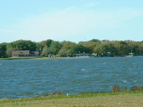
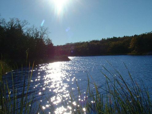
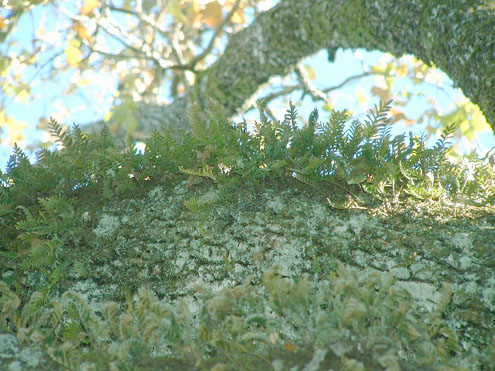
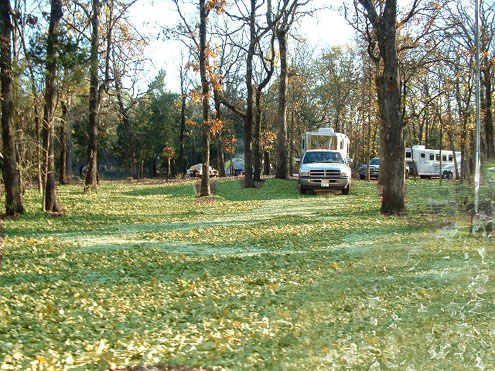
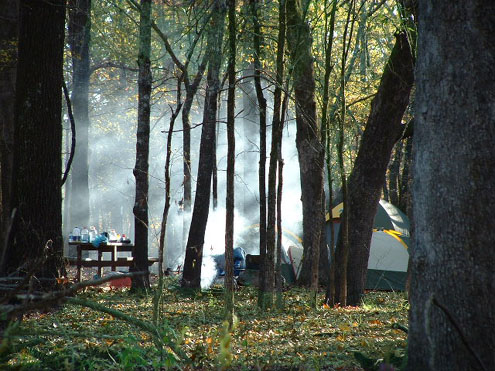
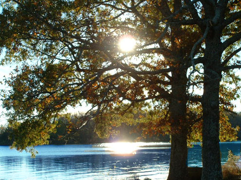
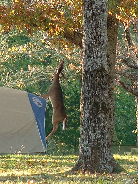
Bonham State Park
Bonham State Park
Bonham State Park, the bee and the stink bug.
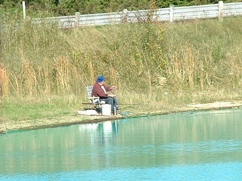
Bonham State Park
Bonham State Park
Bonham State Park
Bonham State Park
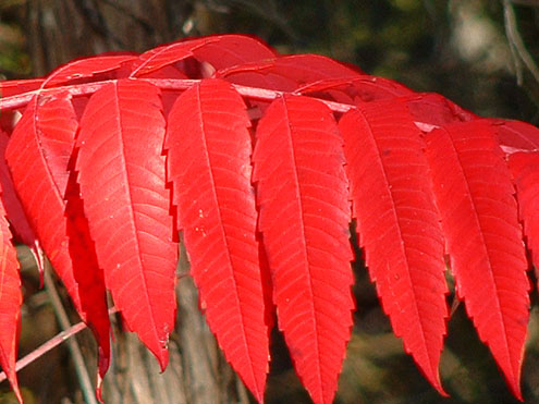
Bonham State Park
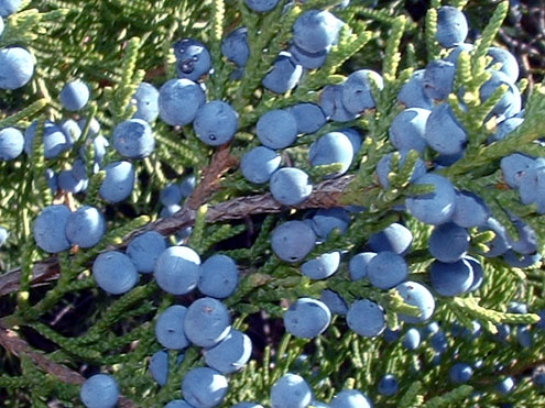
Bonham State Park
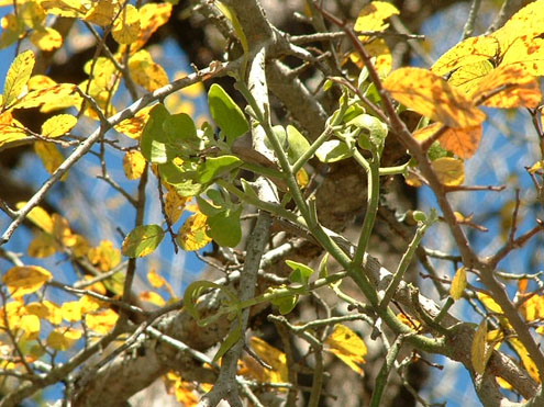
Bonham State Park
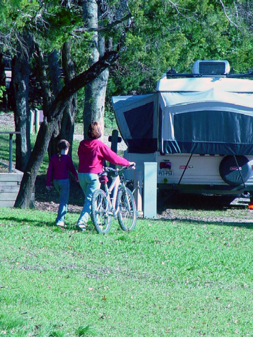
Bonham State Park is ideal for biking.
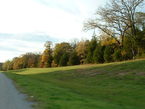
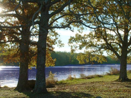
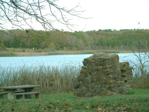
Bonham State Park is a 261-acre park located in Fannin County northeast of Dallas. It includes a 65-acre lake, rolling prairies, and woodlands.
History: Constructed in early 1930s by the Civilian Conservation Corps (CCC), the land was acquired in 1933 from the City of Bonham and was opened in 1936.
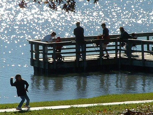
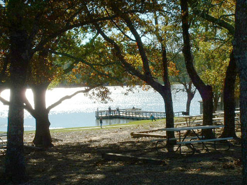
Activities:There is (unsupervised) swimming and fishing in the man-made lake, built in 1935, as well as camping, picnicking, mountain biking, boating (5 mph speed limit).
Check TPW Calendar for Events at This Site
Facilities: Facilities include restrooms with and without showers; picnic sites (including one group picnic area); campsites with water and electricity; campsites with water; a group camp with barracks and a dining hall, which accommodates approximately 94 people (the facility is only rented as a single unit, not separately); an 11-mile trail for mountain biking and hiking; a playground; a launching ramp; a boat dock; and a lighted fishing pier.
Link to park fee and gate information.
Link to park facility map In PDF format (LARGE file 104k) - You need Adobe Acrobat Reader to view the pdf. Go here for a free download.
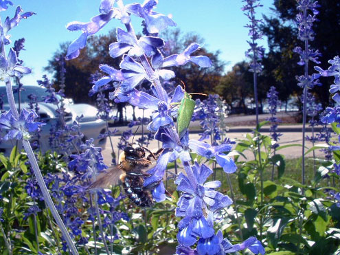
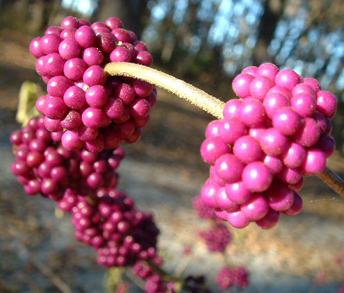
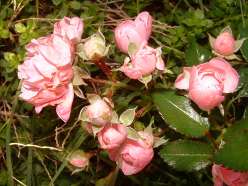
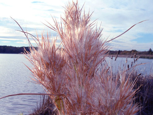
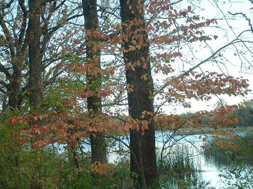
Flora/Fauna: The park is situated in the Blackland Prairie Region of Texas. The terrain is dominated by grassland interspersed by woodlands. More luxuriant woodlands occur along water courses and the lake's shoreline. Although the park's grasslands are no longer pristine, they are recovering nicely and have small areas dominated by little bluestem and bushy bluestem. The woodlands are composed of Texas Oak, eastern red cedar, bois d'arc, and eve's necklace, with sugarberry, cottonwood, black willow, and green ash becoming more common along the creeks and lake shore. Numerous wildflowers and flowering shrubs cover the gently rolling prairie in the spring, and stands of cedar and mixed hardwoods provide a panorama of multicolored leaves in the fall.
Wildlife is limited because of the relatively small size of the park. However, the lake shoreline provides habitats for beaver, raccoon, opossum, and a number of visiting songbirds. Although a few woodland birds are permanent residents, visitor and migrant species outnumber the residents.
Directions: To reach the park, go 1.5 miles southeast of Bonham on State Highway 78 to FM 271, then two miles southeast on FM 271; enter on Park Road 24.
Elevation: 568 Average rainfall: 41.6 Temperature: January minimum 31 degrees and maximum in July is 95 degrees. Open: Headquarters hours are from 8:00 a.m. to 5:00 p.m. The park is open 7 days a week year-round. There is no gate. An honor box is located at headquarters for after-hours collection.
Area Attractions: Nearby attractions include the Eisenhower State Park, Eisenhower Birthplace and Sam Bell Maxey House State Historic Sites. Bonham attractions include Sam Rayburn Memorial Library, named in honor of Sam Rayburn, and the Sam Rayburn Home. Rayburn was a Fannin County native who held the office of U.S. Speaker of the House the longest period thus far. Also, the Fannin County Museum; Fort English Park; and the Fannin County Courthouse are located in Bonham.
Camping fees vary; entrance fee. For reservations call 512/389-8900. Current conditions including fire bans and water levels can vary from day to day. For more details, call the park or Park Information at 1-800-792-1112.
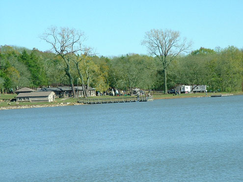
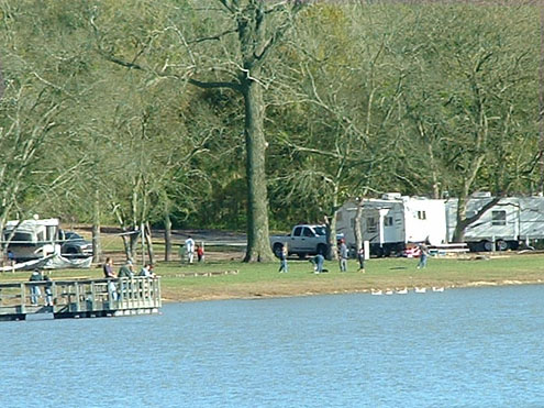
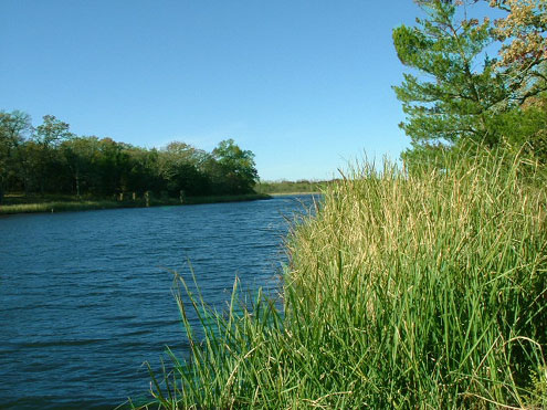
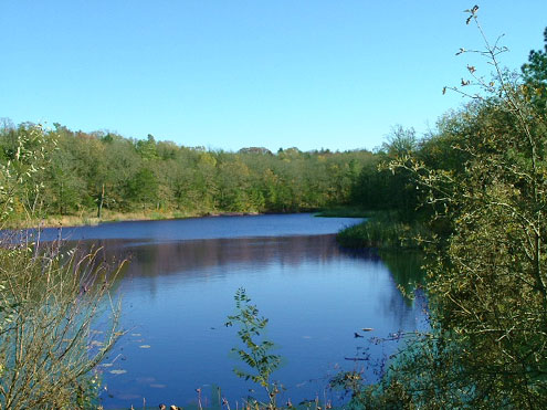
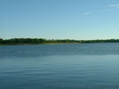
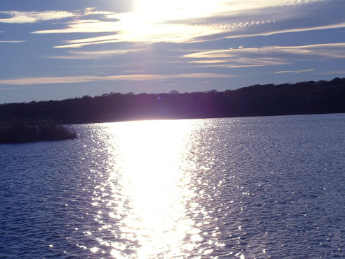
Lake Bonham
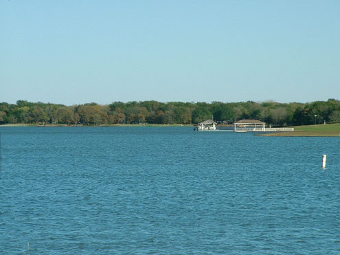
Lake Bonham
Lake Bonham
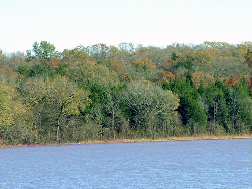
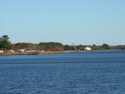
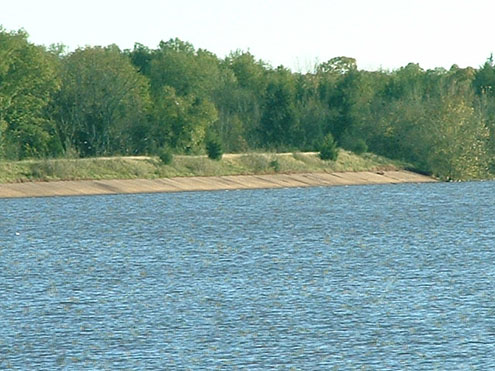
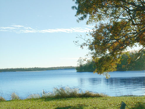
Fannin Lake
Fannin Lake
Fannin Lake
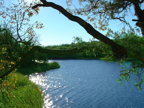
Fannin Lake
Fannin Lake
Fannin Lake

Fannin Lake
Fannin Lake
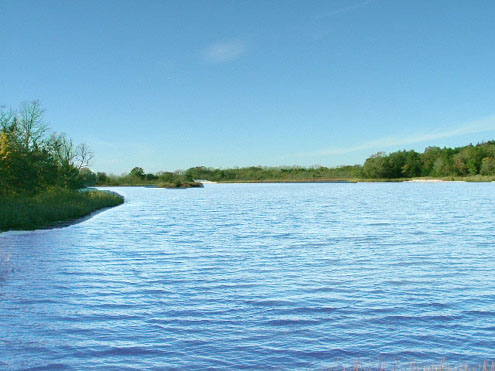
Fannin Lake
Fannin Lake
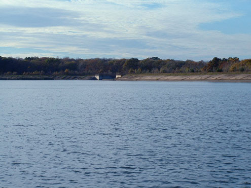
Located within the Fannin Unit of the Caddo National Grasslands, Lake Fannin is a forty-five acre lake constructed in the 1930's by the Rural Resettlement Administration for recreation. Access to the lake is provided on the south side and includes a parking area and primitive boat ramp. The north side of the lake is closed to public access for public safety. This area was developed for recreation also in the 1930's but is in a bad state of repair and very hazardous. From a boat on the lake many of the historical structures are visible.
Little Lake Fannin is located just south of Lake Fannin is a 10 acre lake also open to fishing and provides a parking area.
No water or toilet facilities are available. Please pack out your trash.
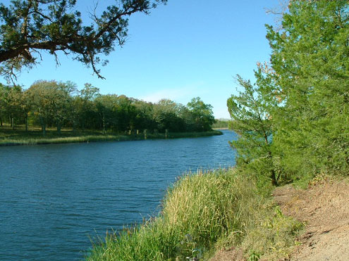
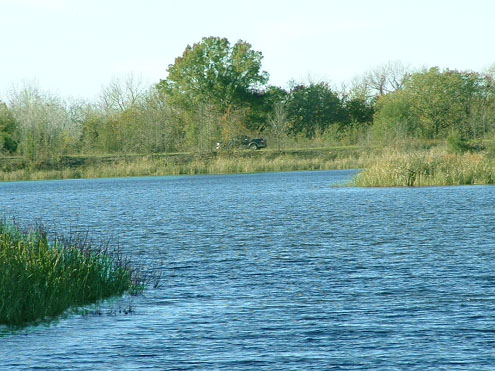
Coffee Mill Lake
Coffee Mill Lake
Coffee Mill Lake
Coffee Mill Lake
Coffee Mill Lake
Coffee Mill Lake
Coffee Mill Lake
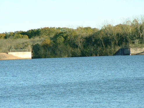
Coffee Mill Lake Coffee Mill Lake COFFEE MILL CREEK LAKE. Coffee Mill Creek Lake is twelve miles northwest of Honey Grove in Fannin County (at 33�44' N, 95�58' W) It is on Coffee Mill Creek, a tributary of Bois d'Arc Creek, which is a tributary to the Red River. The lake was built in 1938 and is owned and operated by the United States Forest Service for recreational purposes. The reservoir has a capacity of 8,000 acre-feet and a surface area of 704 acres at the service spillway crest elevation of 496 feet above mean sea level. The drainage area above the dam is thirty-nine square miles.
Lake Crockett Lake Crockett
Lake Crockett Lake Crockett
Lake Crockett
Lake Crockett
Lake Crockett
Lake Crockett is south of Monkstown, in Fannin County (at lat. 33.44.5, long. 095.55.5). The lake was completed in 1938, constructed by WPA, engineered by USDA, owned by United States Forest Service, by impounding the waters of Sandy Creek. The lake is used primarily for recreation. The earthern dam is 42 feet tall, crest length is 1,800 feet. The uncontrolled spillway is 125 wide, with a maximum discharge of 8,760 cubic feet per second (CFS). Normal capacity is 3,900 acre feet (AF), maximum capacity is 7,498 AF. | ||